PEORIA, Ill. (WMBD) – A tornado watch has been issued for the area through 10 p.m. Wednesday.
The Storm Prediction Center has placed most of Central Illinois under a Level 4 (Moderate Risk) for severe weather.
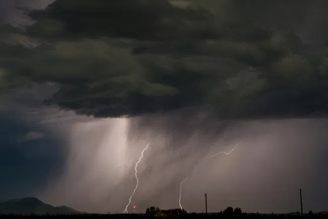
This upgrade was driven by the high likelihood of tornadoes, some intense, across the region. With a tornado outbreak likely, we have designated Wednesday, June 17 a Severe Weather Alert Day.
Key Takeaways
- Level 4 Risk (Moderate Risk) for most
- All severe hazards are expected
- Intense tornadoes
- 80+ mph wind gusts
- 2-inch diameter size hail
- Localized flash flooding
Second Round: 2 p.m. to 9 p.m.
Storms that develop within this time frame are expected to be the most severe of the day.

The morning storms are expected to lay down an outflow boundary that will enhance tornado potential with any storms that interact with it. It’s not yet clear where this boundary will end up, but chances are it will set up somewhere between Interstates 72 and 80.
Unusually strong wind shear will favor the development of intense, long-tracked tornadoes with any discrete supercells. These storms will also be capable of producing destructive wind gusts of more than 80 mph and large hail up to 2 inches in diameter.
Areas north of the boundary will be heavy rain producers, and in addition to carrying some severe weather risk, will carry a risk of flash flooding.
Widespread rainfall amounts of 1 to 3 inches are expected for most with localized amounts of 3 inches or more possible. Right now the heaviest totals are more likely to fall near and north of Interstate 74.
Make sure you have multiple ways to receive life-saving weather alerts including a NOAA Weather Radio and the CiProud 2 Go Weather App.
We’ll have updates throughout the night and throughout the day on Wednesday on our website Ciproud.com, on air, and on our social media channels.
WMBD TV first reported this story. You can read the original story online at CIProud.com.