By WMBD TV
PEORIA, Ill. (WMBD) — While many Central Illinoisans are still picking up the pieces from last week’s storms, a strong storm system is expected to bring more severe weather to the area on Wednesday.
Key Takeaways
- Level 4 Risk (Moderate Risk) for most
- All severe hazards expected
- Strong tornadoes
- 80+ mph wind gusts
- 2-inch diameter size hail
- Areas of greatest risk still unknown
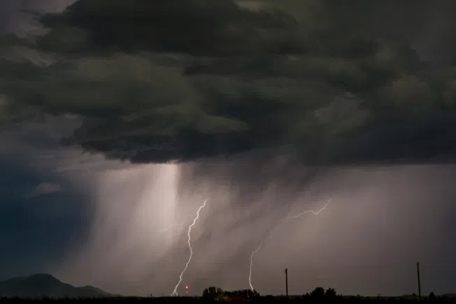
The Storm Prediction Center did go ahead and upgrade a large part of the area to a Level 4 risk for severe weather. This upgrade was driven by an unusually favorable setup for tornadoes, and growing confidence for some strong tornadoes. However, keep in mind all severe hazards are expected with these storms.

One of those details is the exact placement of an outflow boundary from a morning round of thunderstorms. These storms will likely push this boundary somewhere between Interstates 72 and 80 before it starts to make a rapid push north.
Similar to what we saw last week, storms in the vicinity of this boundary will be capable of producing strong tornadoes. Our in-house model has this boundary on the northern and eastern edges of our viewing area, but it should be noted these boundaries typically end up further south than modeled.
Storms that develop further south and away from the influence of the outflow boundary will carry a greater risk of significant wind gusts. Tornadoes are certainly possible, but the damaging winds will be the primary concern, though those winds shouldn’t be taken lightly.

Regardless of where this outflow boundary ends up, multiple rounds of severe storms are expected. These will likely be a mix of supercells and bowing segments capable of all hazards including tornadoes, 80+ mph wind gusts, and 2-inch diameter size hail.
The window for severe weather is large and generally runs from 8 a.m. through 9 p.m. However, the main window for intense severe storms arrives after 1 p.m., maximizing in the 3 to 7 p.m. window.
Areas north of the boundary will be heavy rain producers, and in addition to carrying some severe weather risk, will carry a risk of flash flooding. Widespread rainfall amounts of 1 to 3 inches are expected for most with localized amounts of 3 inches or more possible. Right now the heaviest totals are more likely to fall near and north of I-74.

Make sure you have multiple ways to receive warning information and keep monitoring forecast updates.
WMBD TV first reported this story. You can read the original story online at CIProud.com.