


(WJBC file photo)
By Greg Halbleib
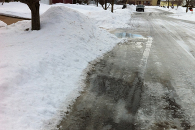
LINCOLN – Winter isn’t ready to let go of Central Illinois.
The National Weather Service has extended its Winter Storm Warning farther south along Interstate 74 to include McLean, Tazewell and Champaign counties until 10 p.m. The warning for Livingston, Woodford and Ford counties has also been extended until 10 p.m.
WMBD-TV 31 Chief Meteorologist Chris Yates said the potent storm is tracking in a narrow band that could bring about three inches of snow to Bloomington-Normal, but four to seven inches closer to Interstate 80 and only a trace at Lincoln.
NWS said some localized areas could get up to nine inches of snow and a light glaze of ice accumulation is also expected.
“The focus of the heavier band has shifted about 20 or 30 miles south over the last 24 hours,” Yates said. “That would place the heavier snow basically between Bloomington and Pontiac.”
Yates estimated four to seven inches of snow in Chenoa, three to six inches in Pontiac and Bloomington-Normal, one to three inches in Heyworth and trace amounts in Lincoln.
Check Illinois road conditions here and cancellations here.
Wind with gusts over 30 miles per hour will accompany the storm, which could reduce visibility and cause power outages.
The snow is expected to leave the area by Saturday afternoon. Yates added the snow probably won’t stick to roads and won’t stay long with above-freezing temperatures and rain predicted later in the weekend.