Peoria, Ill. (WMBD) — A strong storm system will move across the Midwest this weekend bringing much needed rain, thunderstorms, and gusty winds to Central Illinois.
Key Takeaways
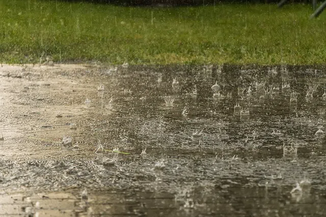
- Rain and thunderstorms likely Saturday
- Locally heavy rain and localized street flooding possible
- Severe risk remain very low for the Peoria/Bloomington market
- Gusty winds expected Sunday
A strong cold front will approach Illinois Friday night, bringing a chance of showers and thunderstorms to the area after midnight. Ahead of the front, winds will be breezy from the south which should help send temperatures near 80° Friday afternoon.
Model guidance has trended stronger and slower with the system which will result in a longer period of rain and higher rainfall totals across the region. While the main area of low pressure will pass well north of Illinois, a secondary area of low pressure is expected to strengthen along the front over Illinois causing storms and rain to redevelop over the area in the afternoon and continue overnight.

Some of these storms may produce heavy rain and gusty winds, but the greater potential for severe weather is across southern Illinois and south across the lower Mississippi River Valley where damaging winds, large hail, and tornadoes will be possible. If we get more instability over Central Illinois, a localized risk for severe storms could materialize with damaging wind gusts being the primary concern.
As the storm system departs on Sunday blustery west-northwesterly winds, potentially gusting over 30 mph, will usher in cooler temperatures keeping highs in the lower 60s Sunday afternoon and sending lows in the lower 40s and upper 30s Sunday night.
Rainfall Forecast
With the storm system now looking to come in stronger and slower, rainfall amounts are trending higher. Widespread rain fall amounts of 0.75″ to 1.50″ are likely with localized pockets over 2.00″ possible. For the most part, the ground should be able to absorb much of what falls, but localized bands of training thunderstorms could result in isolated totals over 2.00″ and lead to localized flooding.

While the anticipated rain will be highly beneficial, it won’t pull us out of our drought. It could however be the start of period of improvement that could continue as the weather pattern remains active.
WMBD TV can be reached at News@WJBC.com.